Aerial View Collection – Amsterdam from Above – 4 Authentic High-Resolution Airplane Window Photos

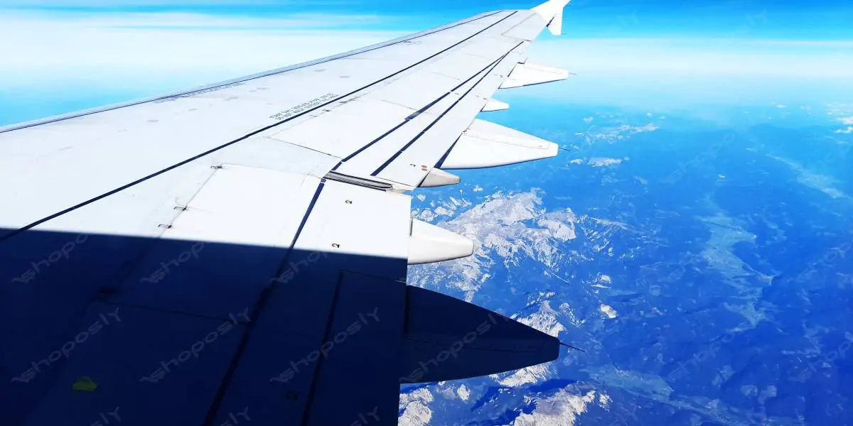
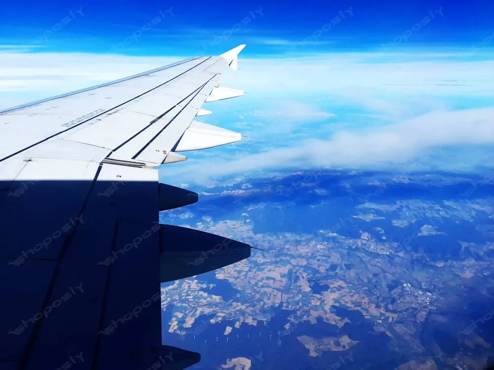
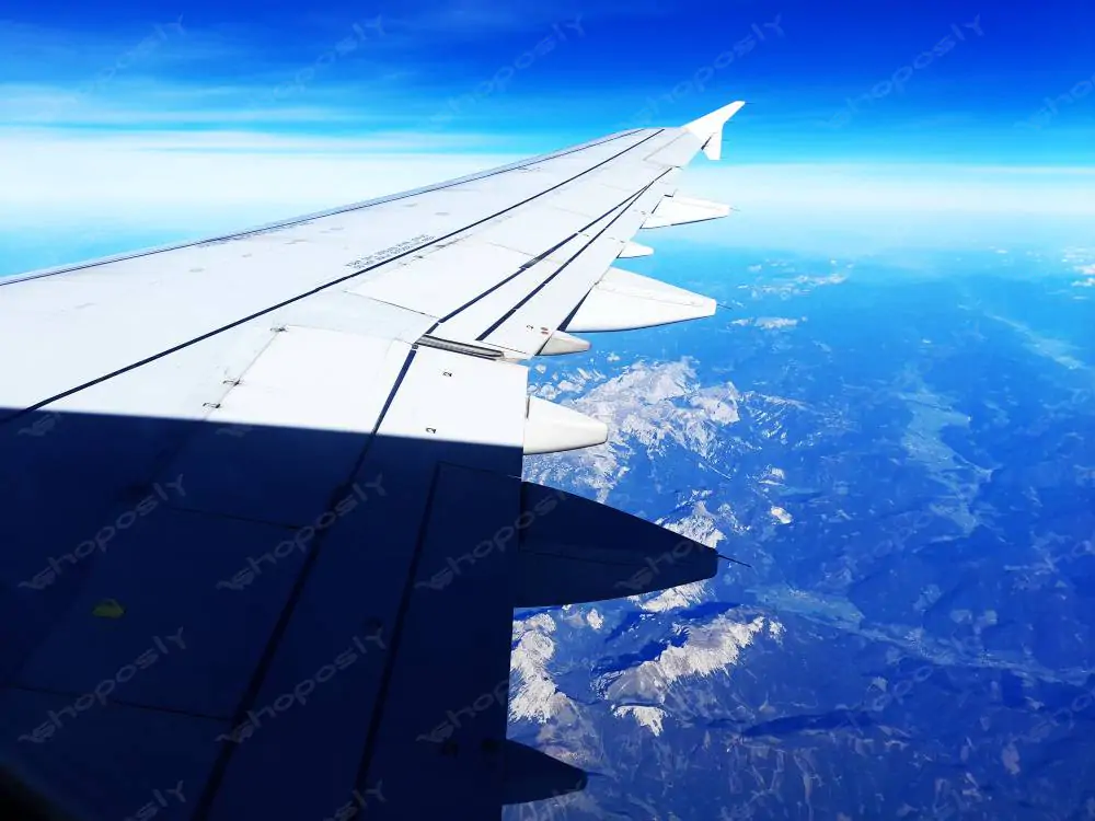
Take flight above one of Europe’s most iconic regions with this 4-photo real aerial image collection captured from a commercial airplane window en route to Amsterdam, Netherlands. These high-resolution, unfiltered photographs showcase breathtaking views of the Dutch landscape and sky, delivering a unique bird’s-eye experience through the aircraft's wing and the distant earth below.

Shot during broad daylight, each image in this curated set preserves the real textures, patterns, and natural geography seen from 30,000+ feet above ground. You’ll notice winding rivers, detailed farmlands, mountainous terrains in the distance, and shifting cloud coverage — all contributing to a stunning visual narrative of northern Europe's aerial beauty.

These real-life photos are captured at a crisp 4000 x 3000 pixels with 300 DPI, making them perfect for large format printing, documentary usage, editorial designs, aviation blogs, or creative travel storytelling.


📸 What’s Included

  • Total Images: 4 real photographs taken mid-flight
  • Location: Airspace above the Netherlands, approaching Amsterdam
  • Resolution: 4000 x 3000 pixels
  • DPI: 300 (Print-ready clarity)
  • File Format: JPG
  • Type: Real airplane window aerial photography


🌍 Photo Highlights

  • Image 1: Sweeping aerial view of geometric patchwork farmlands under the plane’s wing, with river curves and pale sky gradient
  • Image 2: A majestic wing-level shot with faint clouds passing over shaded and sunlit fields, creating dynamic light patterns
  • Image 3: A spectacular mountain range appearing beneath the aircraft as it cuts through deep blue skies, capturing elevation contrast
  • Image 4: Crisp wing detail as the landscape transitions into valleys, fields, and populated Dutch countryside with noticeable cloud overlays


🛫 Themes Captured

  • Flying over the Netherlands en route to Amsterdam
  • Real-life travel and exploration experience from inside a plane
  • Patterns of European farmland from above
  • Mountainous ridge lines and aerial transitions
  • Natural light, sky gradients, and the earth's curvature


🛡️ License Options

Free License: Personal, academic, or non-commercial blog use — attribution required.
💼 Regular License: Single commercial project use — travel article, flight blog, or design layout (no resale).
🛒 Extended License: Unlimited commercial use — includes resale options, book covers, advertisements, and printed wall art.

For high-resolution TIFF, RAW, or licensing inquiries, please contact us directly.


🖼️ Perfect For:

  • Travel writers and bloggers
  • Airline or aviation-related content creators
  • Travel agencies and flight itinerary websites
  • Wall decor for airports, terminals, and pilot lounges
  • Print and editorial layouts in magazines
  • Classroom or university geography resources
  • Digital scrapbooking, storyboards, or theme galleries
License Option
Quality checked by Shoposly
Full Documentation
Future updates
Author Support
shopo1

Member since Dec 2024

From Unknown Location
New Author
Trend Master
View Portfolio

shopo1's items

We use cookies to personalize your experience. By continuing to browse this website, you consent to our use of cookies.